Header

Shippers Guides

Rails Unlimited now offers 27 reprinted shippers guides covering railroads coast to coast. The newest addition is the Milwaukee Road Reciprocal Switching Arrangement 1961.

These guides serve two purposes: historical research into towns, industries and the railroads that served them, and preparing accurate prototype waybills for your model railroad.

Every book has a comb binding so it opens flat, a protective clear front cover, and a heavy leatherette back cover. A big thank you to the individuals who shared their original materials. More guides are planned.

Shipping: $6.00 for the first book, $1.00 for each additional book (continental USA). Click any cover to enlarge.

Alton and B&O shippers guide cover
top ↑

Alton & Baltimore and Ohio

1939 · 237 pages (Alton section 84 pages)

The B&O reached New York State on the north, Virginia, West Virginia and Kentucky on the south, St. Louis and Chicago on the west, and the eastern seaboard. The Alton extended the B&O to Kansas City and blanketed Illinois with lines.

This guide combines both railroads in one book, with the Alton as a separate section. Industries are listed by commodity produced or consumed, then by state and town. It also lists livestock pens, track scales, icing stations, crane facilities, and coal and coke operators.

$39.95
Ann Arbor Railroad shippers directory cover
top ↑

Ann Arbor Railroad NEW

1944 · 32 pages · 8½ × 11"

This shippers directory covers competitive points in Michigan and Ohio, and also Wisconsin. Toledo, Ohio has the biggest listing, along with Ann Arbor, Michigan. Every Michigan town where another railroad crossed is listed with its industries, whether each is on the Ann Arbor or a competing road, and whether reciprocal switching applies.

Especially interesting are the lake terminals where the Ann Arbor solicited traffic and participated in rates: Manitowoc and Kewaunee, Wisconsin, and Menominee and Manistique, Michigan, all car-ferry terminals.

$13.95
Chicago & Eastern Illinois Traffic Department Directory cover
top ↑

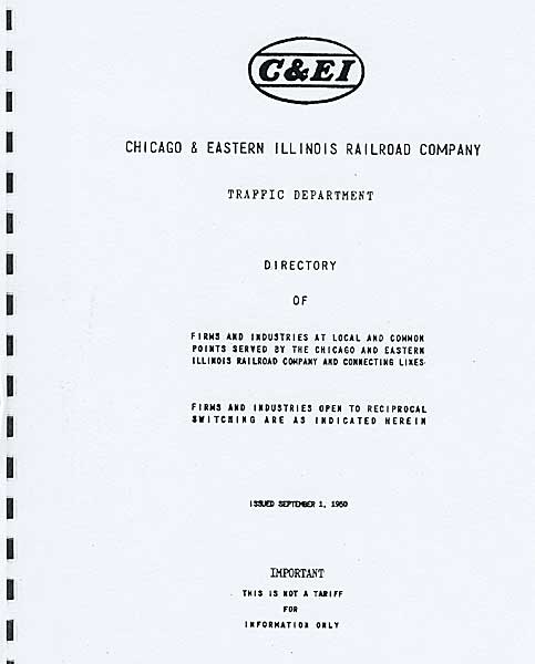
Chicago & Eastern Illinois Traffic Department Directory

1950 · 74 pages, including a map

The C&EI Directory of Firms and Industries lists towns alphabetically with the industries on the C&EI and whether each is served by reciprocal switching.

$24.95 PRICE REDUCED
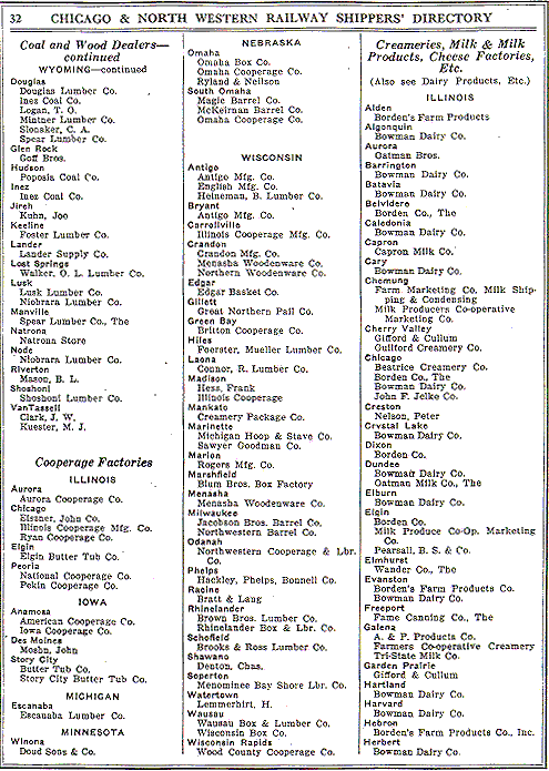
Chicago and North Western / Omaha Shippers Directory cover View a sample page (low resolution)
top ↑

Chicago & North Western / Omaha Shippers Directory

1923 · 190 pages

Lists industries of the CNW and the CStPM&O (Omaha Road) by industry type, town and state. Full of great old-time industry names.

$39.95 Limited quantities
Chicago & North Western Directory of Industries cover
top ↑

Chicago & North Western Directory of Industries

1941 · 205 pages

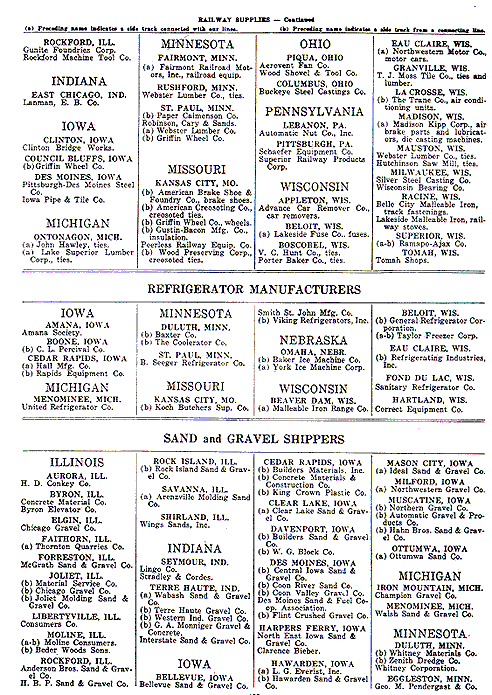
Covers both the CNW and the Omaha Road. Industries are listed by commodity type, such as coal dealers, grain elevators and manufacturers. The CNW fills the front of the book and the Omaha the rear third. One interesting page claims that in 1940 shipping livestock by train was safer than by truck, a nod to prewar road conditions.

$39.95
Chicago Switching District 1956 cover
top ↑

Chicago Switching District

1956 · 126 pages

Shows how much of a manufacturing center Chicago was. Industries are listed alphabetically with the nature of the business, street address, railroad district, and serving railroads. Coverage includes the near-in suburbs, roughly the area bounded by the IHB.

$29.95
Chicago Switching District Tariff 22-G 1967 cover
top ↑

Chicago Switching District, Freight Tariff 22-G

March 15, 1967 · 135 pages

Lists all industries in Chicago and nearby suburbs alphabetically by name, with street address, products, and serving railroad or railroads. Compare it with the 1956 edition: the page counts are nearly identical, so you can see exactly what changed industrially over eleven years.

$29.95
Great Northern shippers guide cover
top ↑

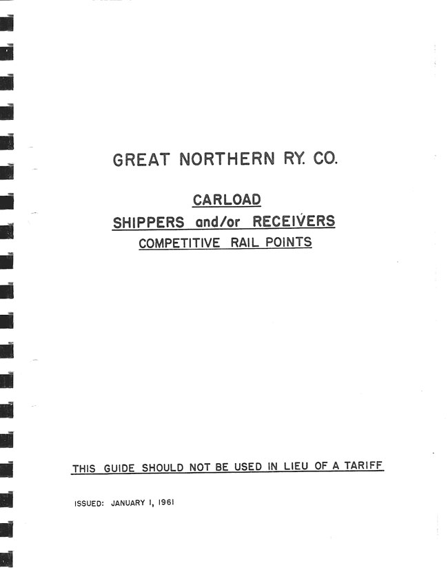
Great Northern Railway

319 pages

Great Northern Carload Shippers and/or Receivers, Competitive Rail Points.

$39.95
Icing Stations in the United States and Canada cover
top ↑

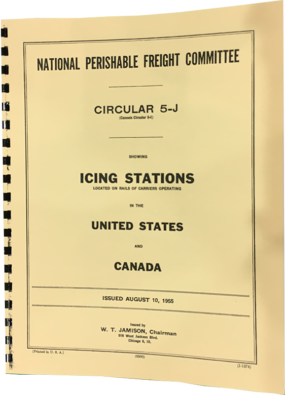
Icing Stations in the United States and Canada

1955 · 55 pages

Lists every icing platform and service by category (regular, emergency and re-top icing), along with all the railroads offering those services.

$12.95
Illinois Central shippers guide cover
top ↑

Illinois Central Railroad

1967–1970 · 285 pages · 8 × 10"

Dated just before the GM&O merger, when the IC was at its full extent: Wisconsin, Minnesota, South Dakota and Nebraska on the north, and Louisiana, Mississippi and Alabama on the south. Towns are in alphabetical order, from Abbeville, Miss. with a single industry to Zeigler, Ill. with its coal mine.

Pages added over the years carry A, B and C suffixes. Some listings appear older than the dates suggest. My Northwest Iowa hometown shows 1940s industries gone by 1967 alongside one built in the late '60s, so think of it as covering the 1950s through 1970.

This is a copy of a copy, so about 5% of the pages are hard to read.

$39.95
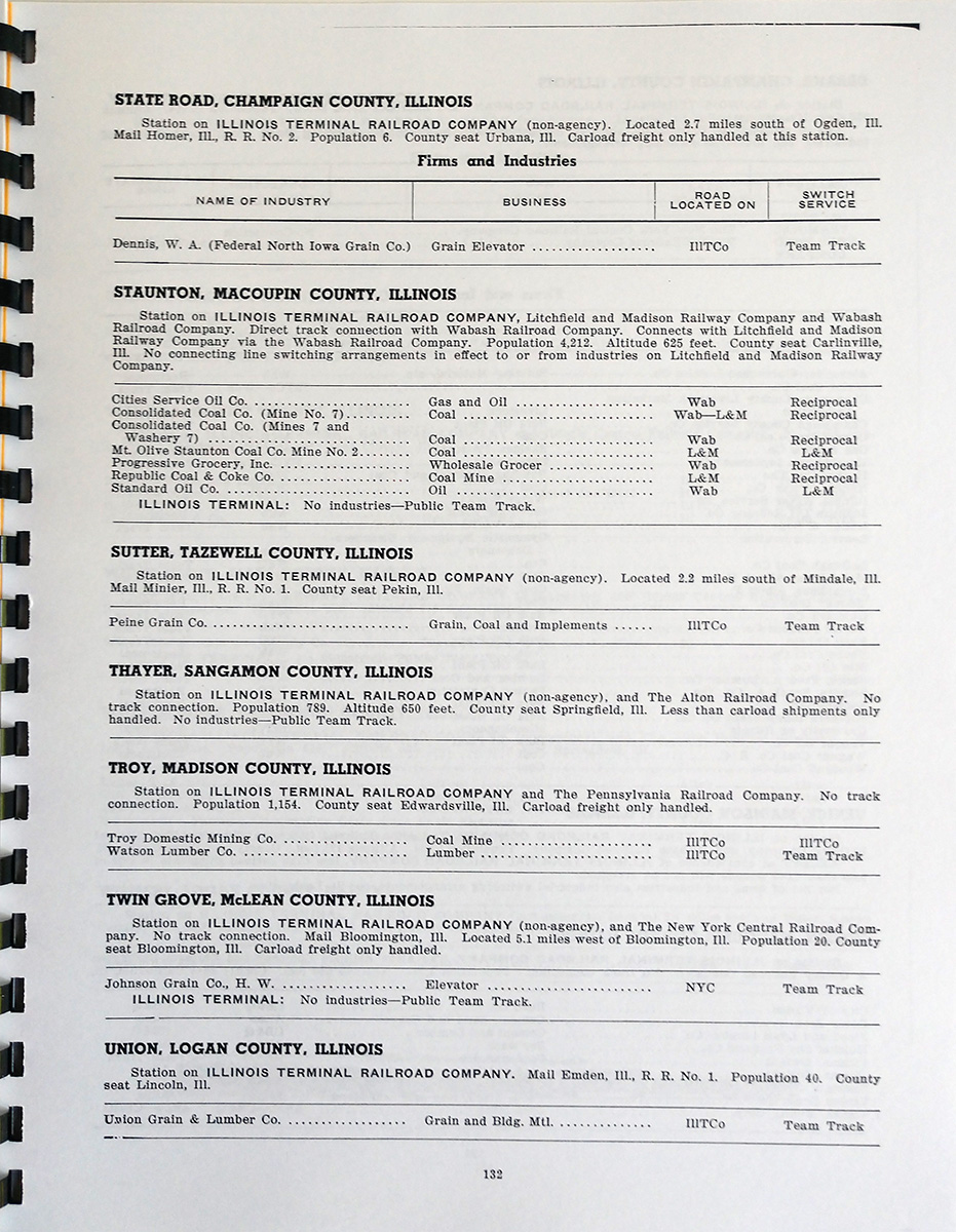
Illinois Terminal Directory of Industries cover Illinois Terminal Directory of Industries sample page
top ↑

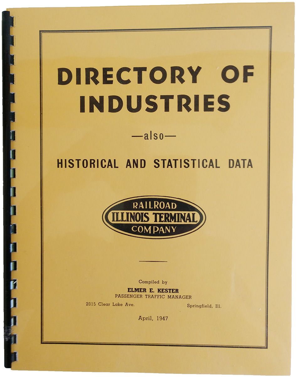
Illinois Terminal Railroad Company Directory of Industries

1947 · 70 pages · 8½ × 11"

Lists all industries in towns along the IT, including offline industries not on the IT. Peoria alone takes three pages; other major towns include Decatur, Springfield and East St. Louis.

$24.95
Louisville and Nashville shipping guide cover
top ↑

Louisville & Nashville

c. 1940 · 163 pages

My first guide covering the Southeast, running from Illinois and Ohio to Florida and Louisiana. The only date is on the 1939 system map, so I estimate a prewar publication around 1940.

Printed by Reynolds & Reynolds of Dayton, Ohio, who also produced the UP, CNW, RI and Milwaukee guides I sell. Industries are listed by type, then by state and town. The L&N edition has a larger foreword describing industries along the line, plus six pages of LCL routes.

$34.95
Milwaukee Road Shippers Guide cover View a sample page (low resolution)
top ↑

Milwaukee Road Shippers Guide

1943 · 132 pages

Lists each town on the line and all its industries, identifying each as Milwaukee-served, served by another railroad, jointly served, or a team track customer. Organized by commodity: grain dealers, refineries, ice manufacturers, packing houses and many more.

I use this book extensively for prototype waybills on my own railroad. It has an orange/yellow cover matching the original.

$29.95
Milwaukee Road Reciprocal Switching Arrangement 1961 cover
top ↑

Milwaukee Road Reciprocal Switching Arrangement NEW

1961 · 109 pages

A listing of industries right at the end of the classic era. Every town where two or more railroads competed is listed alphabetically, with each industry, its serving railroad, and the reciprocal switching arrangements. Some towns remain listed even though the second railroad had been abandoned. Both Lines East and Lines West are included.

$36.95
Milwaukee Reciprocal Switching Arrangements 1978 cover
top ↑

Milwaukee Road Reciprocal Switching Arrangements

1978 · 119 pages

Lists every town on the Milwaukee served by two or more railroads. Towns and industries are in alphabetical order, with the serving carrier and whether reciprocal switching is allowed.

$29.95
Missouri Pacific List of Industries cover
top ↑

Missouri Pacific RR List of Industries

1965 · Circular 140-P · 187 pages

Includes subsidiaries such as the T&P and MI. Towns and industries are listed alphabetically with the railroad serving each industry.

$29.95
New Haven Official Freight Shippers Guide cover
top ↑

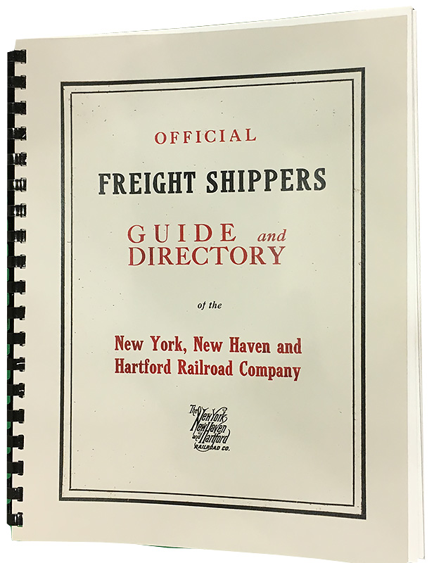
New York, New Haven & Hartford

1915 · 304 pages

"Official Freight Shippers Guide and Directory," with many period advertisements. Organized by industry type, then by state and city, listing all industries of that type, not just those on the New Haven.

$39.95
New York Central / P&LE Freight Delivery Circular 1-E cover View a sample page (low resolution)
top ↑

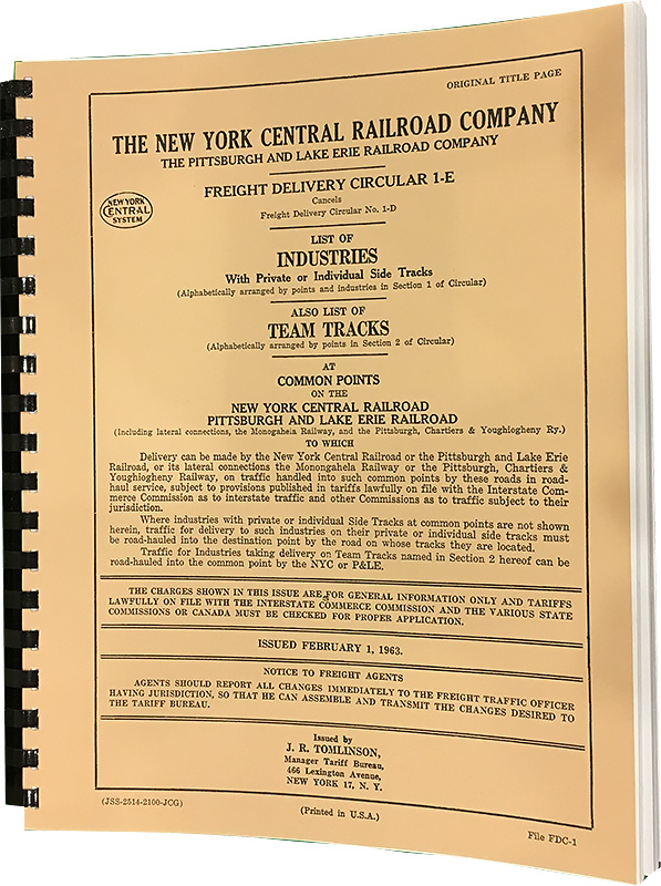
New York Central / P&LE Freight Delivery Circular 1-E

1963 · 376 pages

Covers a huge territory from Illinois and Missouri to Massachusetts, plus Kentucky, Ontario and Quebec. Lists industries and team tracks, including industries on adjoining railroads in each town. Pittsburgh alone runs six pages. Still very much the zenith of classic-era railroading.

$46.95
Northern Pacific Industrial Guide cover
top ↑

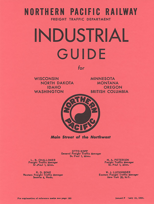
Northern Pacific Industrial Guide

1954 · 183 pages

Covers the entire NP. The original 6 × 9" pages are enlarged to 8½ × 11" for easier reading. Arranged by town, both competitive and non-competitive points, listing each industry and its serving railroad or railroads. Three pages of notes on exceptions are at the back.

$39.95
Pennsylvania Railroad form CT1000 cover
top ↑

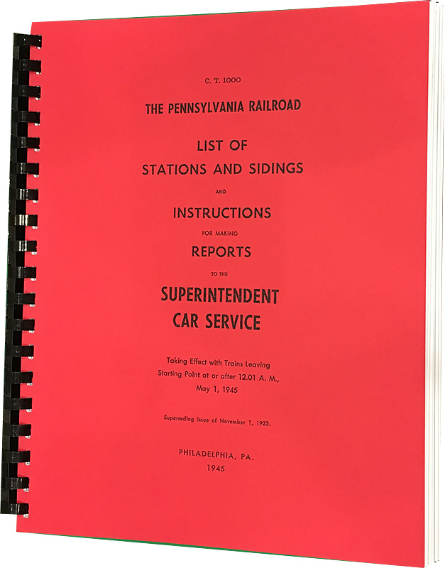
Pennsylvania Railroad, Form CT1000

1945 · 415 pages · our largest book

Lists industries served by the PRR and other railroads in each city. The front half is arranged by region and subdivision in timetable order; the back half is an alphabetical industry index with page references.

$46.95
Reading Company Freight Shippers Guide No. 1 cover
top ↑

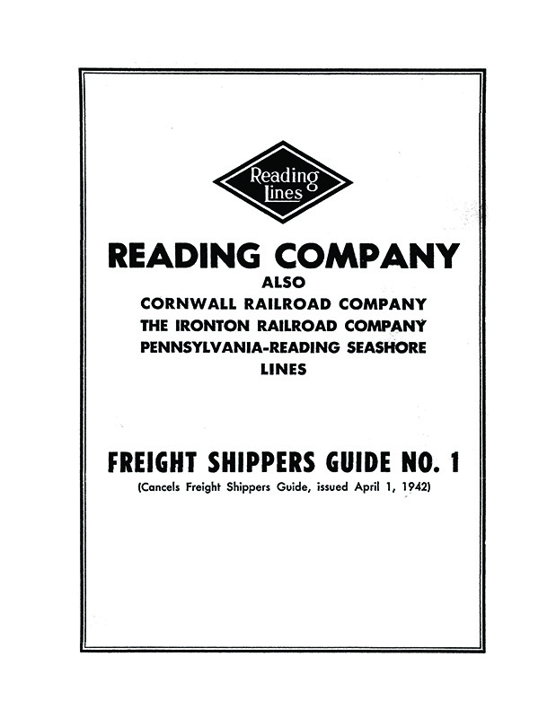
Reading Company Freight Shippers Guide No. 1

1954 · 256 pages

Besides the Reading, includes the Cornwall RR, the Ironton RR, and the Pennsylvania-Reading Seashore Lines. Stations are listed alphabetically with their industries. Includes a list of Delaware River piers and railroad maps.

$34.95
Rio Grande Freight Traffic Guide 1951 cover
top ↑

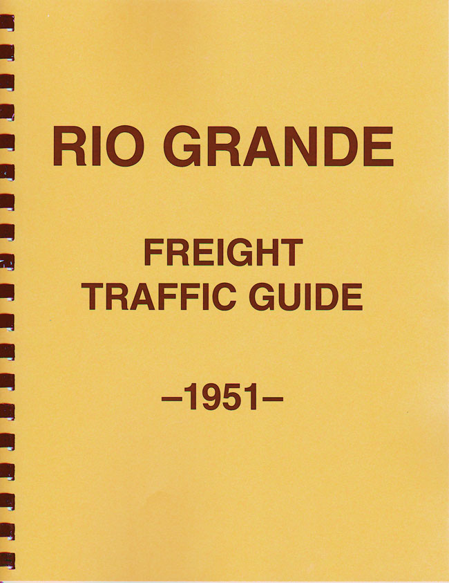
Rio Grande Freight Traffic Guide

1951 · 99 pages

Lists all industries at competitive points in Colorado and Utah served by the D&RGW and other railroads. The back includes maps of the D&RGW and RGS, a detail map of the Front Range joint track from Denver to Pueblo, and lists of coal mines, stockyards, track scales, auto platforms and Rio Grande Motor Way facilities.

$24.95
Rock Island 1941 shippers guide cover
top ↑

Rock Island

1941 · 142 pages

Lists, by commodity, towns on the Rock Island and all their industries, noting whether each is served by the Rock, another railroad, or a team track. A very informative guide for prototype waybills or researching the industries of a town or line segment.

$29.95
Chicago, Rock Island and Pacific Industrial Directory cover
top ↑

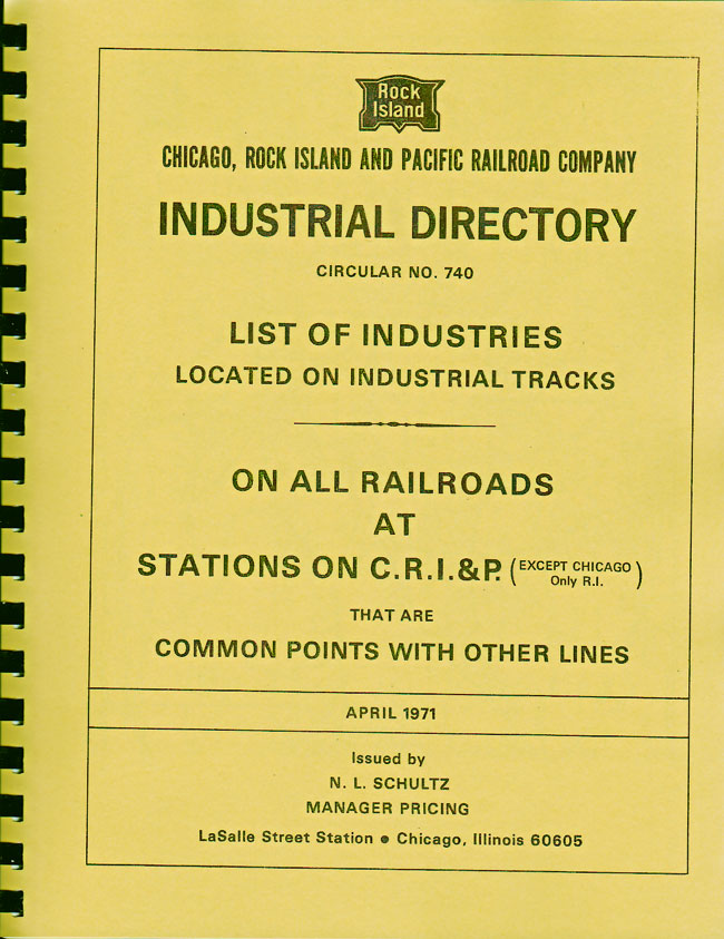
Chicago, Rock Island & Pacific Industrial Directory

Circular 740 · April 1971 · 258 pages

Lists all industries at competitive points, including those on other railroads. Towns and industries are in alphabetical order, with each industry's serving carrier and whether it is open to reciprocal switching.

$34.95
Soo Line List of Industries at Junctions cover
top ↑

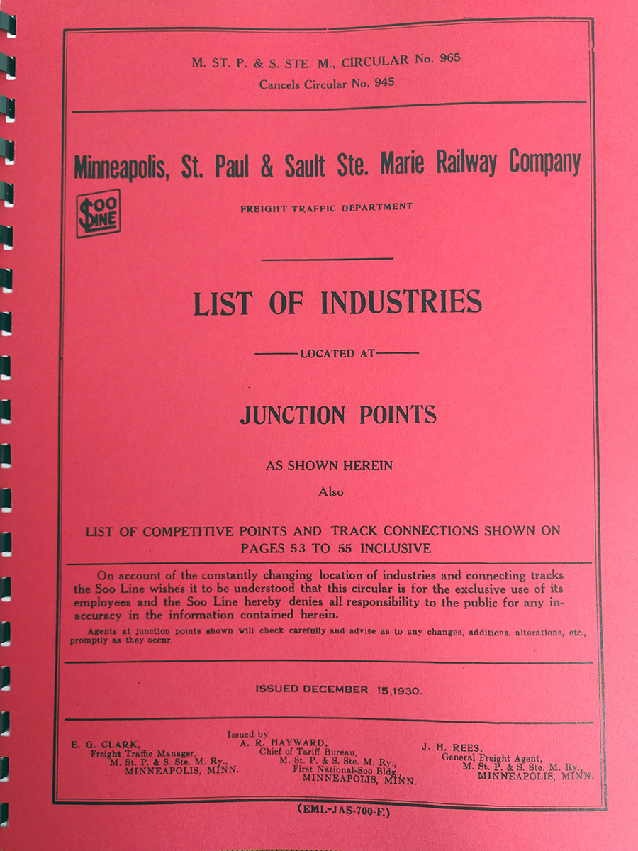
Soo Line List of Industries at Junctions

1930, updated October 2, 1935 · 86 pages

The Minneapolis, St. Paul & Sault Ste. Marie served the upper Midwest from the Great Lakes to the Dakotas and Montana. The cover is dated December 1930; a 13-page 1935 update at the back adds and removes industries during the Depression and is an interesting document in itself.

Covers only points where two or more railroads meet. Milwaukee, Wisconsin runs 10 pages and Minneapolis 11. Each industry shows the commodity shipped or received and the serving railroad or railroads.

$29.95
Southern Pacific Los Angeles Terminal shippers guide cover Zone 6 track plan: Butte Street yard Zone 6, part 2: Butte Street yard
top ↑

Southern Pacific – Los Angeles Terminal NEW

November 1, 1952 · 117 pages · 8½ × 11"

The terminal is divided into 16 zones, each with a track plan and list of industries; complex zones need two sheets. The second image shows part 2 of zone 6, covering Butte Street yard, the connecting Pacific Electric yard, and the Union Pacific and Santa Fe interchanges. Maps show streets for orientation, plus depots, towers, yard offices and water columns, since 1952 was still the steam era.

The last 37 pages are an alphabetical index of thousands of industries, with addresses and car capacity. Note that only SP industries are covered, not UP, PE or Santa Fe. My Union Pacific book covers all LA industries.

$29.95
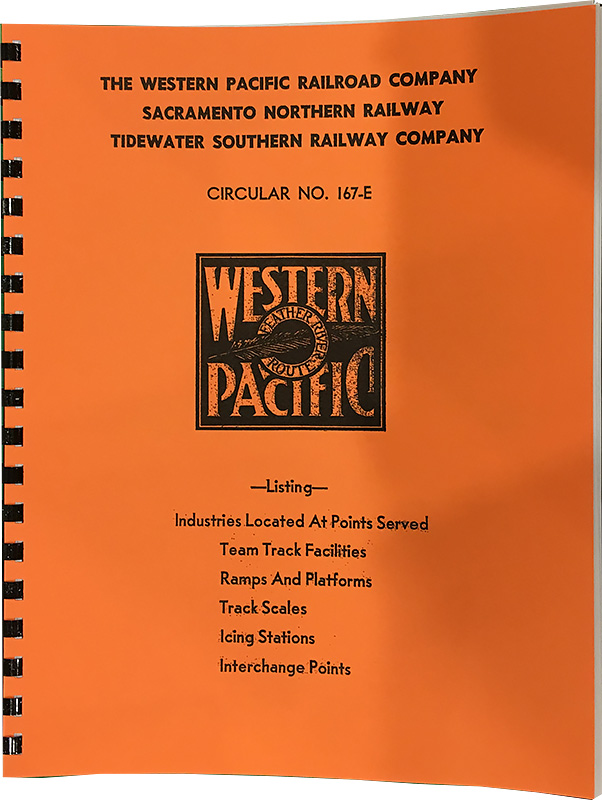
Western Pacific Circular 167-E cover
top ↑

Western Pacific Railroad, Circular #167-E

c. 1957 · 173 pages

Includes the WP, Sacramento Northern and Tidewater Southern, with maps of all three at the back. Large cities like San Francisco and Salt Lake City run several pages, while small towns like Tobar and Loyalton are covered too. All industries in each town are listed, including many SP and Santa Fe customers at joint points.

$29.95